Today’s forecast
Article available in Slovenian
Po nočni fronti razmeroma topel dan, v četrtek nov izdaten dež
Vremenska fronta je ponoči prešla Slovenijo in na zahodu pustila obilne padavine. Za njo močan zahodni do jugozahodni zračni tok še naprej dovaja vlažen atlantski zrak, na jugovzhodu pa je dan razmeroma topel. V četrtek nas čaka nov izdaten dež, nato dva večinoma suha dneva, od nedelje naprej pa bo bolj sveže in spremenljivo.
Full forecastLatest news
All news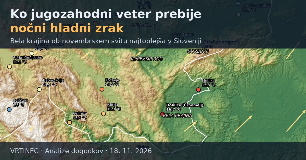 Event analysesWhen south-westerly wind breaks through the cold night air: Bela krajina the warmest place in Slovenia at a November dawn
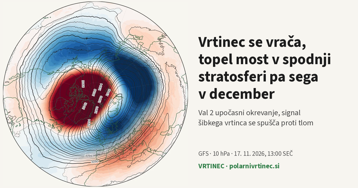 StratosphereThe vortex is coming back, while the warm bridge in the lower stratosphere reaches into December
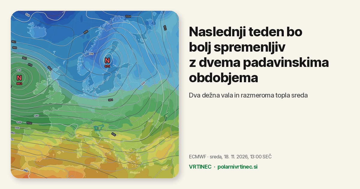 Forecasts and trendsNext week turns more changeable, with two spells of rain
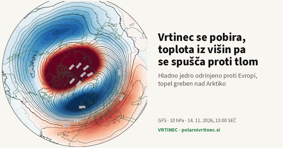 StratosphereThe vortex is recovering, while the heat from aloft sinks towards the surface
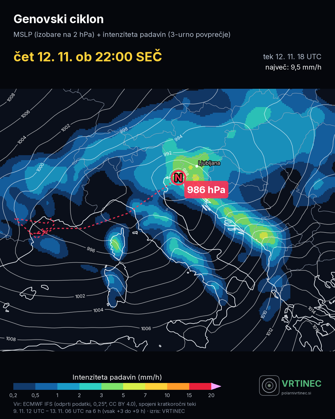 Event analysesGenovski ciklon 9.–13. 11. 2026: najboljši je bil C-LAEF
Live verification
Loading…
Quick maps
MapsPrecipitation, temperature and wind.SatelliteMeteosat, last 24 hours.RadarLive precipitation.MeteogramA location, several model runs.SynopticFronts and isobars.SoundingTemperature and wind profile.VerificationHow well the models scored.IndicesMJO, AO, NAO, ENSO.ClimateSlovenia, 1991–2020 normal.EuropeNAO, cities, snowy winters.Dust and air qualityDesert dust and PM10.InversionFog in basins.StratosphereThe polar vortex.SSWSudden warmings.GuideHow to read the indicators.OverviewAO, NAO and the season.